Map Projections #
The subject of map projections is fascinating. It is one of the first cases where high level mathematics had a profound impact on day to day life and, to this day, very few look at a map and fully understand the complexity hidden behind a deceptively simple object.
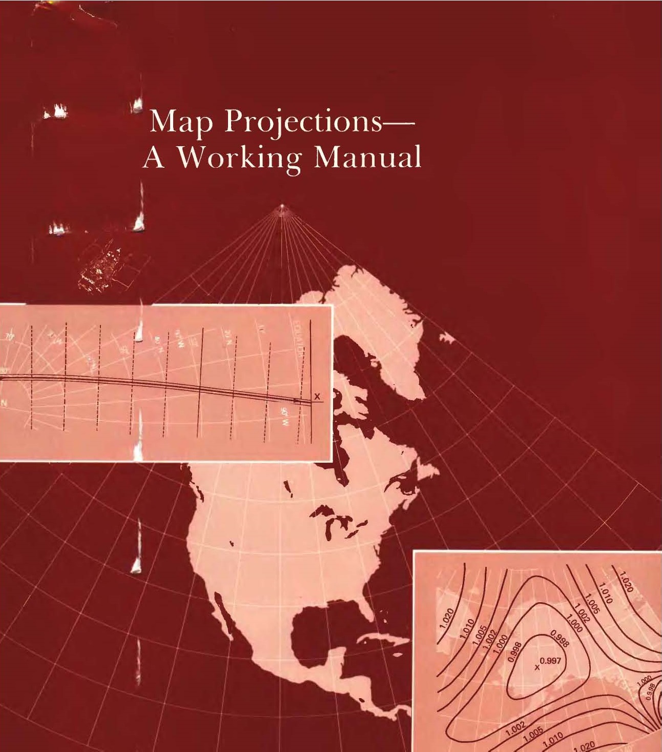
For anyone who gains some interest in the subject, a reference point is the publication of John P. Snyder, Map Projections - A Working Manual. To this day (it was published in 1987), it remains the reference when searching for a map projection.
John Parr Snyder (1926-1997) was a chemical engineer working for CIBA-Geigy with a lifelong interest in maps and map projections. At the age of 50, in 1976, he attended a cartography conference and learned about the need for a new projection to be used with Landsat satellites data. He designed what become known as the Space Oblique Mercator and offered it free to US Geological Survey (USGS). Two years later he was working in USGS and, in 1987, he published this compendium of map projections.
Although the publication can be found online, it is a scan of the original book. The following pages try to be a true online version of the original. All formulas have be transcribed in TEX and rendered using MathJax. The numerical examples are implemented using JavaScript. The default values can be changed and all affected formulas will be recalculated.
I am not claiming any intellectual rights: this is a transcription in a new form of the original publication and it is done only as a tribute to a truly valuable work. All rights remain with the original copyright holders. I am inclined to believe that, as a U.S. government work, the original publication is in public domain (see this reference). As such, this online manual would also be in public domain. However, I am no lawyer and you may want to verify this information.
Contents #
General Concepts
1. Characteristics of Map Projections
2. Latitude and Longitude
3. The Datum and the Earth as an Ellipsoid
4. Scale Variation and Angular Distortion
5. Transformation of Map Graticules
6. Classification and Selection of Map ProjectionsCylindrical Map Projections
7. Mercator Projection
8. Transverse Mercator Projection
9. Oblique Mercator Projection
10. Cylindrical Equal-Area Projection
11. Miller Cylindrical Projection
12. Equidistant Cylindrical Projection
13. Cassini ProjectionConic Map Projections
14. Albers Equal-Area Conic Projection
15. Lambert Conformal Conic Projection
16. Equidistant Conic Projection
17. Bipolar Oblique Conic Conformal Projection
18. Polyconic Projection
19. Bonne projectionAzimuthal and Related Map Projections
20. Orthographic Projection
21. Stereographic Projection
22. Gnomonic Projection
23. General Perspective Projection
24. Lambert Azimuthal Equal-Area Projection
25. Azimuthal Equidistant Projection
26. Modified-Stereographic Conformal ProjectionsSpace Map Projections
27. Space Oblique Mercator Projection
28. Satellite-Tracking projectionsPseudocylindrical and Miscellaneous Map Projections
29. Van der Grinten Projection
30. Sinusoidal Projection
31. Mollweide Projection
32. Eckert IV and VI projections
Further References #
- NASA Landsat Science - John Parr Snyder’s Space Oblique Mercator Projection
- Library of Congress Blogs - From Childhood Fancy to Space Age Discovery
- Hessler, John W. Projecting Time: John Parr Snyder and the Development of the Space Oblique Mercator Projection